Rio de Janeiro Olympic Urbanism Maps
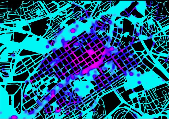
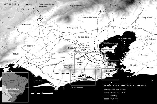
A six-map cartographic series for “Occupy All Streets,” a critical academic volume on Olympic urbanism — deliberately placing venues and favelas on the same maps rather than showing a promotional games guide.
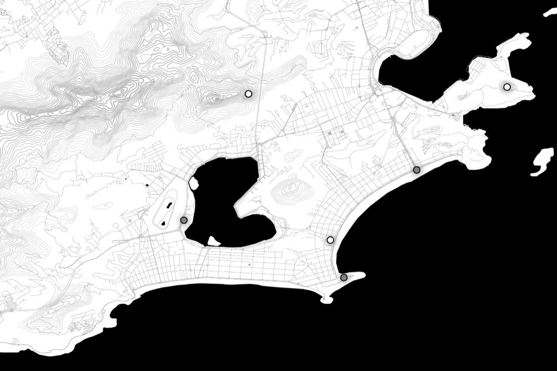
Rio’s 2016 Olympics reshaped the city, displacing some communities while showcasing others. A Princeton-led academic volume set out to critically map that transformation, and needed cartography that could hold both the venues and the neighbourhoods affected by them in the same frame.
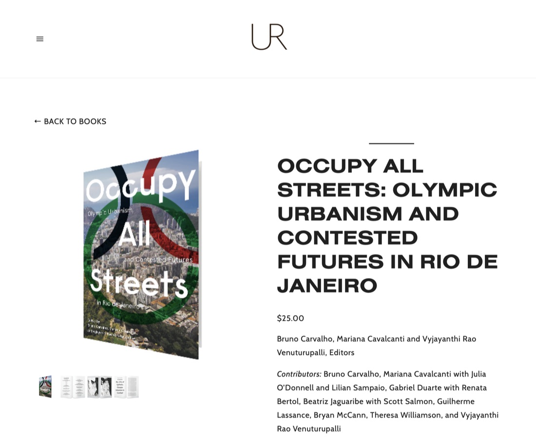
Commissioned for “Occupy All Streets: Olympic Urbanism and Contested Futures in Rio de Janeiro” (UR/Terreform), edited by Bruno Carvalho, Mariana Cavalcanti, and Vyjayanthi Rao Venuturupalli, timed to the August 2016 Games. SPIN Unit worked with a formally contracted local Rio-based collaborator to ground the mapping in on-the-ground knowledge.
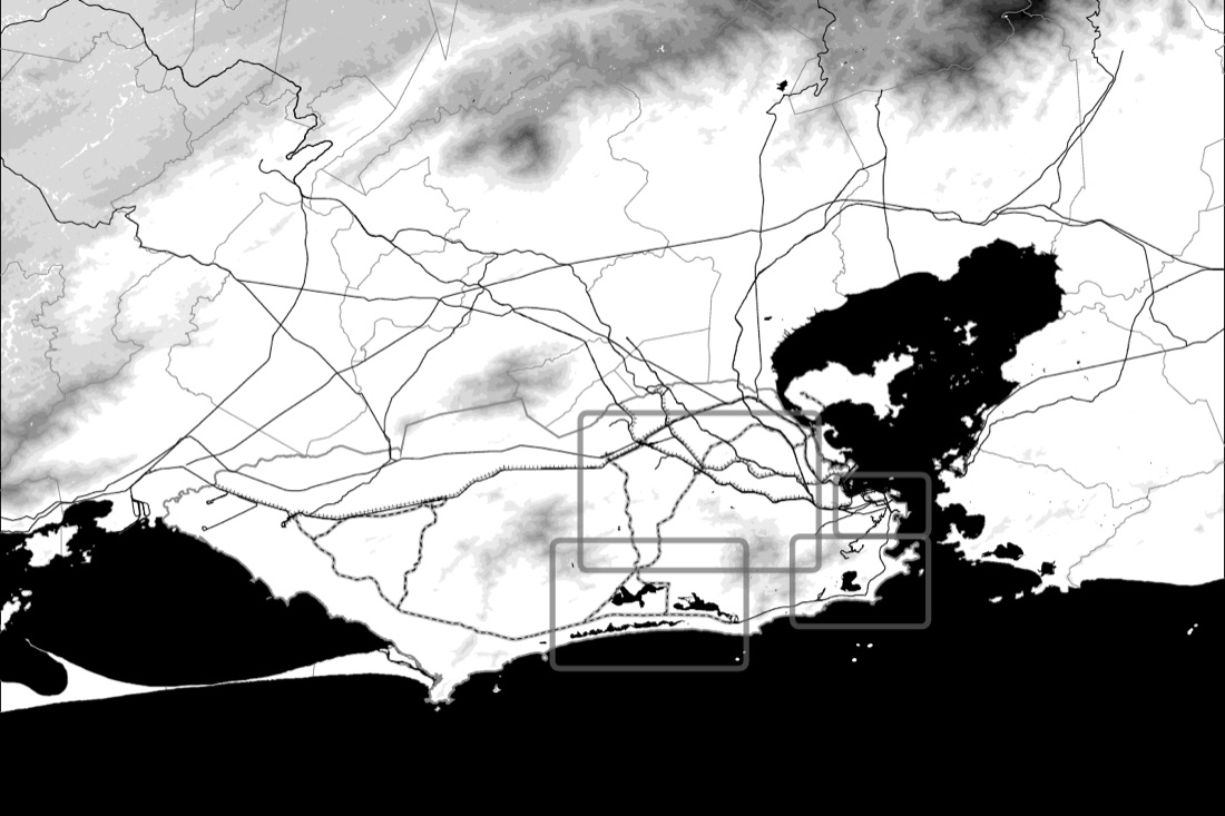
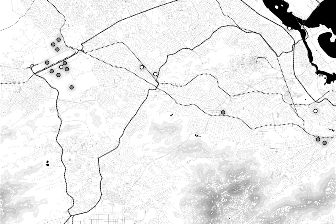
GIS analysis in ArcMap, moving from full-color topographic/transit base data to a stripped-back black-and-white editorial cartographic style suited to print reproduction, at four nested scales: metropolitan region, four-zone Olympic overview, and three detailed sub-regional maps (Central/Porto, West/Barra, North/Deodoro), plus a South Zone map.
Produced over roughly six months (April–October 2016) to meet the book’s production schedule around the Games.
 Rio de Janeiro Olympic maps – Occupy All Streets