← All projects/Space/No. 25
2019 · Space · Estonian Academy of Arts

metaLINN+8 — Unfinished City

Extending the metaLINN methodology to Tallinn’s leftover, in-between spaces — arguing a city’s unfinished fragments can be read and scored just as rigorously as its finished districts.

metaLINN+8 — Unfinished City

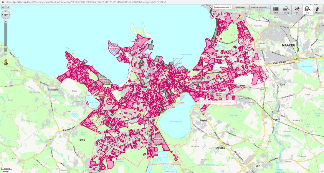
Every city has fragments that don’t quite fit — leftover parcels, disconnected edges, areas caught between plans. This project asked whether SPIN Unit’s data-driven urban indices, built for the citywide metaLINN study, could be applied at a much finer grain to these specific, underused spaces — and used to argue for a coherent citywide strategy to connect them.

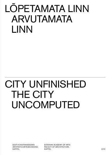
An academic extension of the commercial metaLINN engagement, developed with the Estonian Academy of Arts’ Faculty of Architecture and real-estate partner KAPITEL, and published as a chapter in EKA’s bilingual “City Unfinished / The City Uncomputed” research volume.

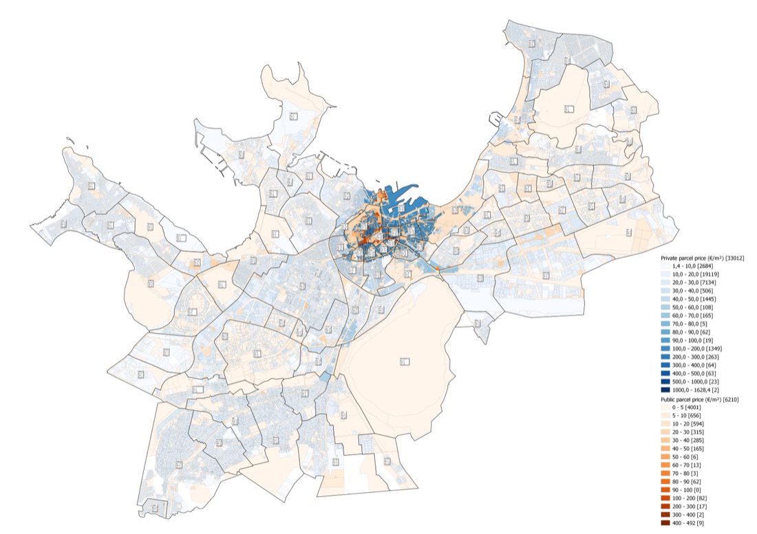
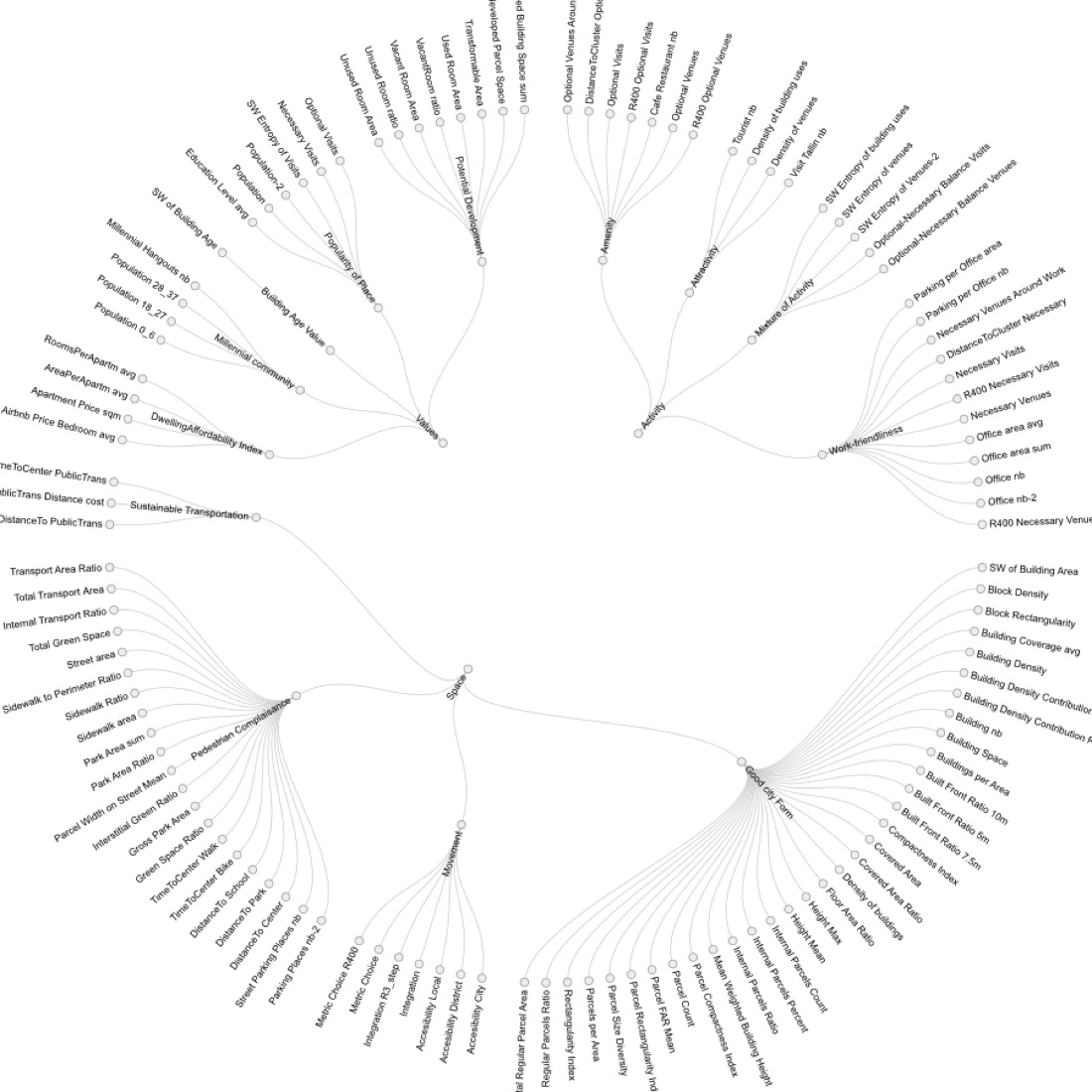
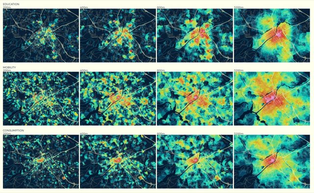
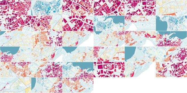
143 GIS-derived metrics were normalised and combined into composite indices across three axes — Space, Activity, Values — applied to seven selected Tallinn areas (Filtri, Punane, Sikupilli, Smuuli, Sõle, Tuisu, Volta). Each area received a tailored diagnosis and design recommendation. A citywide synthesis, the “Star Plan,” proposed five development corridors connecting emerging new centres back to Tallinn’s historic core.

Delivered as GIS analysis, per-area scoring, and a set of maps and infographics, published as a chapter within EKA’s “City Unfinished” volume rather than as a standalone client report.
1 report to download
About the project
ClientEstonian Academy of Arts
PlaceSeven case-study areas across Tallinn, Estonia
Year2019
LensSpace
TopicsAcademic Research, Site Analysis, Urban Metamorphology
What we found
Each of the seven areas got a genuinely distinct diagnosis — Volta scored highest on activity concentration but is cut off by rail infrastructure; Sikupilli combines high activity and value but remains car-centred; Smuuli has strong open-space/waterfront potential but low activity today.
The citywide “Star Plan” identifies five emerging new centres (including Ülemiste City, projected to reach ~30,000 residents/workers) displacing Tallinn’s historic single-centre structure inherited from Soviet-era planning.
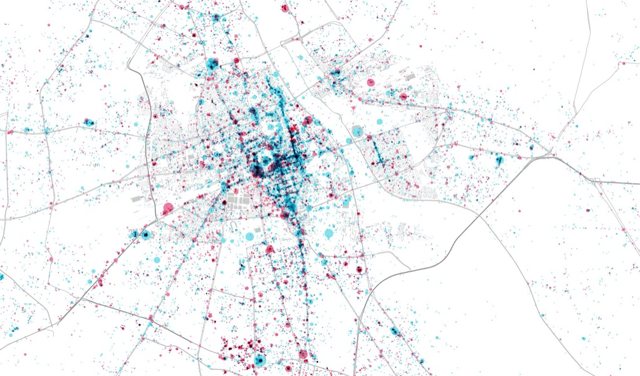
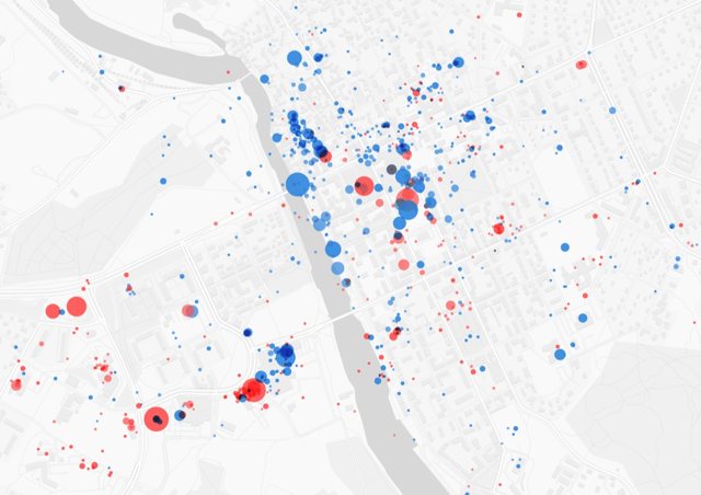
Companion research in the same publication built custom low-cost WiFi pedestrian-tracking sensors, extending the same underlying dataset with real mobility data.
The programme spanned an unusually wide range — from urban data analytics to a buildable modular timber housing system developed with manufacturer Harmet — published together as one coherent research statement.
Pictures

More space projects

All 61 →
Space
Gispo
2019
SPIN Unit · Helsinki — Tallinn
Project record No. 26
Lens:
Space
Reports:
5
Vision for Land Use Monitoring — Finnish Ministry of the Environment
SPIN UnitRead the record →
Space
City of Turku
2018
SPIN Unit · Helsinki — Tallinn
Project record No. 22
Lens:
Space
Reports:
2
Turku Open Platform (TOP)
SPIN UnitRead the record →
Space
City of Tallinn
2019
SPIN Unit · Helsinki — Tallinn
Project record No. 29
Lens:
Space
Reports:
2
metaLINN - Tallinn City Center Development study
SPIN UnitRead the record →
Space
City of Warsaw
2019
SPIN Unit · Helsinki — Tallinn
Project record No. 31
Lens:
Space
Reports:
—
Warsaw Spatial Development Scenarios
SPIN UnitRead the record →
Space
ALA Architects
2020
SPIN Unit · Helsinki — Tallinn
Project record No. 32
Lens:
Space
Reports:
1
Porvoo Square Benchmark
SPIN UnitRead the record →