2014 · Mobility · None — independent research

Tallinn Cycling & Morning Paths (2014 update)

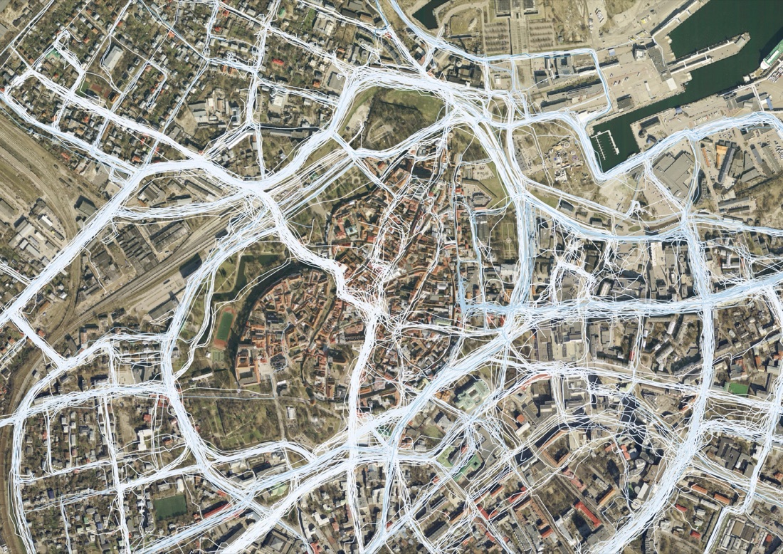
Two years after the original Endomondo bike-path maps, the team revisited the same GPS dataset with a new visual language and two new analytical angles: what cycling looks like against a real satellite image of the historic centre, and how morning travel patterns specifically differ from the rest of the day.

Built directly on the 2012 Endomondo Biking in Tallinn project and its underlying CIVITAS MIMOSA / European Cycling Challenge dataset — no new client or commission is documented; this reads as SPIN Unit re-processing its own founding dataset for the studio’s growing portfolio.

The same GPS trace data, re-banded by trip length and re-rendered in a lighter cartographic style, plus two new outputs: traces overlaid directly on Old Town satellite imagery, and a graduated “morning paths” intensity map isolating morning-hours trips specifically.

A restyling and extension exercise rather than a new field study — new map exports dated 2014–2015.

Tallinn Cycling & Morning Paths (2014 update)Open full size ↗
3 images · select to enlarge · click the image to open it full size