Voorbij de Winkelstraat — Schiedam
Like many small and mid-sized Dutch city centres, Schiedam faced rising retail vacancy and a shopping street losing its reason to exist. The question wasn’t how to save retail, but what could take its place.
Selected as one of five winning proposals in “Ontwerpen aan Stedelijke Centra” (Designing Urban Centres), a national open call by the Dutch Stimuleringsfonds Creatieve Industrie. It built on an earlier Stadsatlas Schiedam (Dec 2016), a 192-page cross-departmental data atlas SPIN Unit and karres+brands produced for the municipality’s 2040 housing strategy, and was later profiled in the national retrospective “Vier jaar ontwerpkracht in Nederland” and presented at IABR 2016.
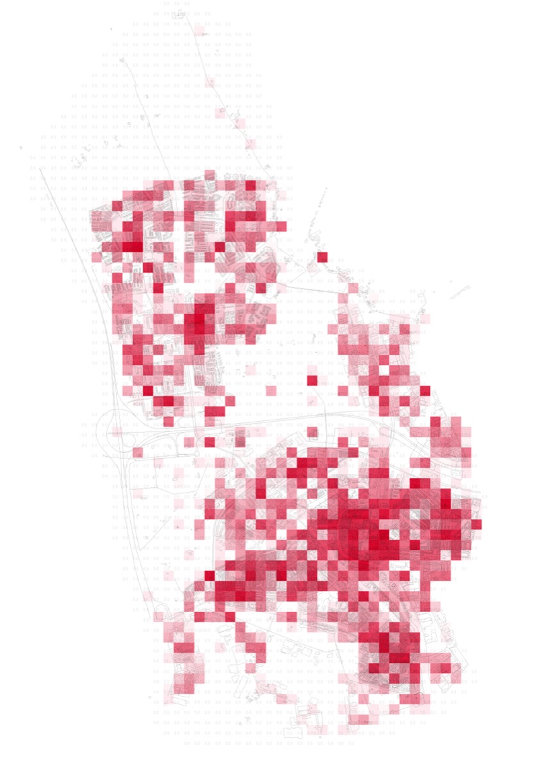
A 100×100m grid analysis combined space syntax (via Rhino/Grasshopper), a Shannon-Wiener diversity index of amenity mix, “perceived density” measured from actual street viewpoints, and social data — over 7,000 geotagged Instagram photos, Foursquare/Google Places check-ins, Twitter mobility patterns, and Airbnb pricing — to map how Schiedam is really used, not just how it’s zoned.
Delivered as a 57-page A3 report (10 November 2017) proposing three test-case interventions for underused sites: Open Magazijn (an open warehouse/logistics concept), Zorg Dragen (a wellness/health hub), and Ertussenin (niche-cluster in-between spaces).
 Open full size ↗